How to Open.kml Files on Mac: Complete Step-by-Step Guide
Discover easy methods to open.kml files on Mac using native apps and third-party software for seamless geographic data handling.
You’ve just received a.kml file from a colleague or downloaded one for your mapping project, but now you’re unsure how to open it on your Mac. These geographic data files are common for sharing location information, but Mac users often wonder about the easiest and most effective way to access them.
This article explains how to open.kml file on Mac using both native tools like Apple Maps and Preview, as well as popular third-party software such as Google Earth. It also clarifies the differences between.kml and.kmz files, helping you decide which method fits your needs best. Step-by-step instructions guide you through opening, extracting, and troubleshooting these files so you can work with your geographic data smoothly.
Key takeaways
- You can open.kml files on Mac using Google Earth, Apple Maps, or Preview depending on your needs.
- .kmz files are compressed versions of.kml files and require extraction before viewing in some apps.
- Google Earth offers the most comprehensive support for geographic data formats on Mac.
- Apple Maps supports basic.kml file viewing but lacks advanced features.
- Common issues include file association problems and unsupported file structures, which can be resolved with simple troubleshooting.
Before you start: What you need to open.kml files on Mac
A.kml (Keyhole Markup Language) file contains geographic data formatted in XML, representing points, lines, polygons, and other map features. These files are widely used for sharing location-based information such as routes, landmarks, or overlays.
A related format,.kmz, is essentially a compressed version of one or more.kml files bundled with additional resources like images or icons. Because.kmz files are zipped, they generally have smaller file sizes and require extraction before access to their contents.
To open.kml or.kmz files on your Mac, you need a recent macOS version and an application capable of reading the specific format. Some native apps like Apple Maps may support basic.kml viewing but often lack full compatibility with.kmz files or complex data layers. Google Earth is a popular free tool that handles both formats well, while specialized GIS software offers advanced features but can be more complex.
Keep in mind that some viewers only support either.kml or.kmz files. In such cases, you might need to convert file types or extract.kmz contents manually using macOS built-in archive utilities.
| File Type | File Size | Compatibility Notes |
|---|---|---|
| .kml | Typically larger (uncompressed XML) | Supported by most GIS apps and some native Mac programs |
| .kmz | Smaller (compressed bundle) | Requires extraction or compatible viewer; Google Earth supports natively |
How to open a.kml file on Mac using Google Earth
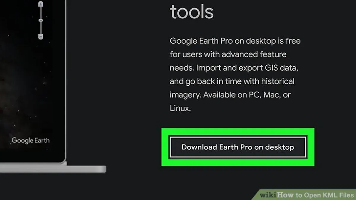
Google Earth is a popular and user-friendly app that allows you to open and explore.kml and.kmz files on your Mac. If you do not have Google Earth installed, you can download it for free from the official Google Earth website. Choose the Mac version, download the installer, and follow the on-screen instructions to install the app.
- Open Google Earth on your Mac. You should see a globe view on startup.
- Click on the File menu in the top menu bar and select Open.
- In the file dialog, navigate to the location of your.kml or.kmz file, select it, and click Open. Google Earth will load the geographic data from the file.
- Once loaded, you will see placemarks, paths, polygons, or other shapes displayed on the globe. You can zoom in and out using trackpad gestures or the zoom slider on the right side.
- Click on placemarks or shapes to view more information or descriptions embedded in the.kml file. This interaction lets you explore the data contextually.
- Use the sidebar to toggle layers on and off or to organize imported files.
If you need advanced features like high-resolution printing, advanced data import/export, or batch processing, consider using Google Earth Pro, which is also free and offers more professional tools for geographic data management.
Using Google Earth provides a straightforward way to view and interact with.kml files visually, making it a practical choice for most Mac users working with geographic data.
How to open a.kml file on MacBook using Apple Maps and Preview
macOS does not offer native support for fully rendering.kml files in Apple Maps, but you can attempt to import these files by dragging and dropping them onto the Apple Maps window. In some cases, the app may recognize the data and display map points or paths, but this behavior is inconsistent and often limited. If the drag-and-drop does not work, Apple Maps will simply ignore the file.
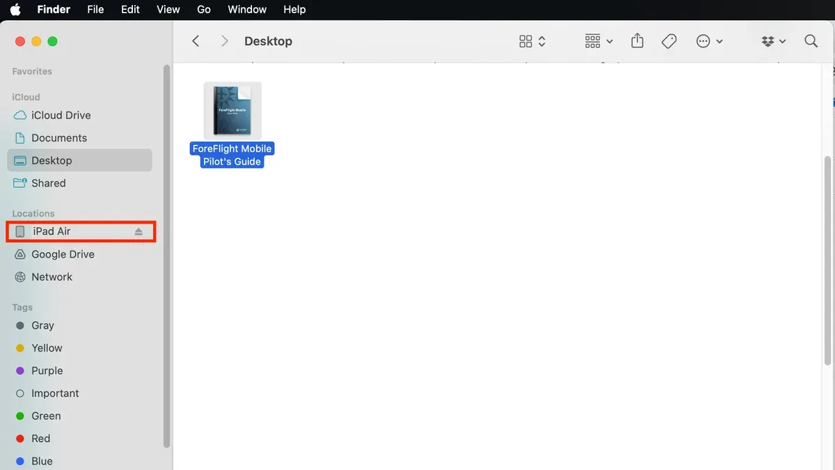
Preview, the default macOS app for viewing images and PDFs, can open.kml files as text documents since.kml files are formatted in XML. Opening a.kml file in Preview will show you the raw XML code, which contains geographic coordinates and metadata, but it will not render any maps or visual geographic data.
These native methods provide a way to quickly check the content of.kml files without installing additional software. For example, Preview is useful when you want to confirm the file structure or extract textual information. Apple Maps’ limited drag-and-drop support might work for simple location points but is not reliable for complex map data.
- Locate the.kml file in Finder.
- Drag the.kml file onto the Apple Maps app icon or open Apple Maps and drag the file into its window. If supported, you will see map points or routes appear.
- If Apple Maps does not respond, right-click the.kml file and select Open With > Preview. This opens the file as XML text.
- Review the XML content in Preview to confirm the file’s structure and geographic coordinates.
While these macOS-native options offer basic access to.kml data, they do not provide full visualization or editing capabilities. For comprehensive use, dedicated mapping software is recommended.
How to open.kmz files on Mac: Extraction and viewing options
.kmz files are compressed versions of.kml files, essentially zipped archives containing geographic data and sometimes associated resources like images. To access the contents on a Mac, you first need to extract these files using built-in or third-party tools.
- Locate the.kmz file in Finder and double-click it. macOS Archive Utility will automatically unzip the file, creating a folder with the same name containing the extracted.kml file and any related resources. You should see a new folder appear next to the original.kmz file.
- If double-clicking does not unzip the file, right-click the.kmz file, select "Open With," and choose "Archive Utility." The extracted folder should appear after extraction completes.
- Alternatively, use third-party apps like The Unarchiver or Keka for more control over extraction. These apps support drag-and-drop extraction and can handle various archive formats.
- Once you have the extracted.kml file, open it using software such as Google Earth or QGIS for full map rendering and data interaction. Simply drag the.kml file into the application window or use the File > Open menu.
File sizes after extraction will be noticeably larger since.kmz files are compressed. For example, a 100 KB.kmz file might expand to a 120 KB.kml file plus additional folders for images. Screenshots of the extraction process typically show the.kmz file transforming into a folder with the same base name.
Some programs, like Google Earth and QGIS, can open.kmz files directly without manual extraction, simplifying the workflow. However, if your preferred app does not support.kmz, extracting the contents first is necessary.
How to open.kml files on PC versus Mac: Key differences
Windows users often have a broader range of software options readily available for opening.kml files, including Google Earth, ArcGIS, and QGIS, which offer robust functionalities for geographic data. Mac users can access Google Earth and QGIS but may find some Windows-native GIS applications like ArcGIS Pro unavailable or requiring virtualization.
File association defaults differ significantly between the platforms. On Windows,.kml files typically associate automatically with Google Earth or installed GIS software, enabling double-click opening with full map rendering. macOS, by contrast, does not commonly set a default app for.kml files, often resulting in opening with Preview, which shows raw XML rather than map data unless users manually select compatible software.
For collaboration, Mac users working with PC users should ensure that.kml files are shared in a universally recognized format and verify that recipients have compatible software installed. Mac users may need to guide collaborators on extracting.kmz files or suggest using Google Earth to maintain consistent viewing experiences across platforms.
| Software | Availability on Mac | Availability on Windows | Key Features |
|---|---|---|---|
| Google Earth | Yes | Yes | Free, easy viewing, supports.kml and.kmz, basic editing |
| ArcGIS Pro | No | Yes | Advanced GIS analysis, extensive format support, professional use |
| QGIS | Yes | Yes | Open source, powerful GIS functions, supports many formats |
| Apple Maps | Yes (limited) | No | Basic.kml drag-and-drop, limited rendering |
Program and app options to open.kml files on Mac beyond Google Earth
If Google Earth does not meet your needs for opening or editing.kml files, several alternative programs offer advanced or specialized features. One notable choice is QGIS, a free and open-source geographic information system (GIS) software compatible with Mac. QGIS supports importing, visualizing, and editing.kml files alongside many other geospatial formats, making it suitable for detailed map analysis or custom project creation. However, its extensive capabilities come with a learning curve and a more complex interface compared to Google Earth.
On the Mac App Store, you can find specialized apps designed specifically for.kml viewing or editing. These range from simple file viewers to more robust GIS tools with user-friendly interfaces. Prices vary from free to paid versions, with trade-offs in features such as layer management, annotation, and export options. These apps can be a middle ground if you want more control than Google Earth but less complexity than QGIS.
Browser-based.kml viewers provide a quick option without installation. They allow you to upload.kml files and view them online, but editing capabilities are usually limited or nonexistent. This approach works well for simple viewing or sharing but is unsuitable for detailed work.
| Program/App | Cost | Editing Features | Ease of Use | Best for |
|---|---|---|---|---|
| Google Earth | Free | Basic editing and annotation | Easy | Simple viewing and light edits |
| QGIS | Free | Advanced editing, analysis, and layering | Complex | Professional GIS projects and detailed mapping |
| Mac App Store GIS apps (varies) | Free to paid | Varies by app, moderate editing | Moderate | Users needing specific features or simpler GIS tools |
| Browser-based viewers | Free | Minimal or none | Very easy | Quick viewing and sharing |
Troubleshooting common problems opening.kml and.kmz files on Mac
Issues opening.kml or.kmz files on Mac often stem from file associations, corrupted data, or file complexity. Setting the correct default app prevents repeated prompts and ensures smooth opening. To set the default app, right-click the file, select Get Info, expand the Open with section, choose your preferred program (e.g., Google Earth or QGIS), then click Change All… and confirm.
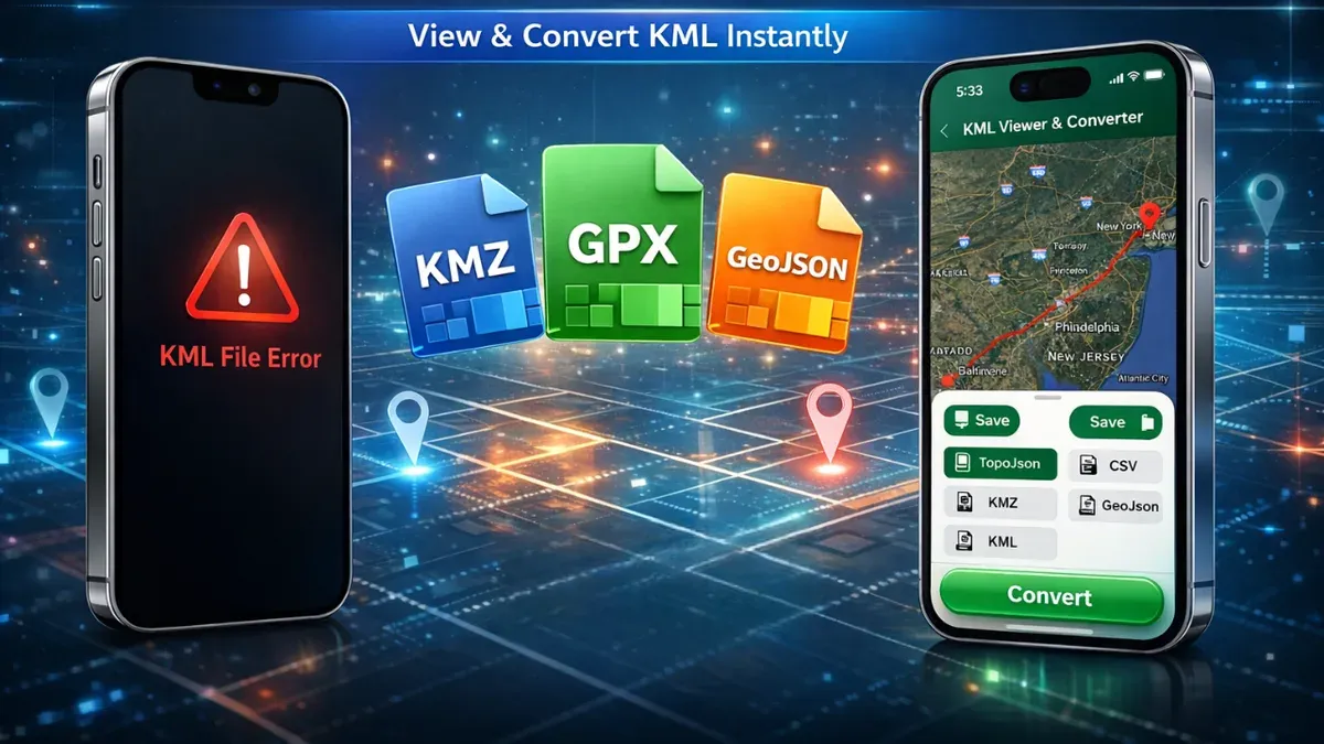
Corrupted or improperly formatted.kml files can cause failures. To validate a.kml file, open it in a plain text editor like TextEdit and look for missing tags or syntax errors. Alternatively, use online validators or import it into QGIS, which reports parsing errors.
For example, a common error is a missing closing </Placemark> tag. Adding the missing tag and saving the file typically restores proper functionality.
Large or complex files may slow down or crash apps. To mitigate this, try splitting the file into smaller parts using a text editor or GIS software. Also, ensure your Mac has sufficient RAM and that the software is updated.
Unsupported features or extensions in.kml files might not display correctly. If you encounter blank maps or missing layers, check the file for non-standard tags and consider using more advanced software like QGIS that supports broader formats.
How to open files on Mac generally: Basic methods and tips
Using Finder is the first step to locate and open files on your Mac. Open Finder from the Dock or by pressing Command + Space and typing "Finder". Navigate to the folder containing your file.
- Click the file once to select it. You should see the file name and icon highlighted.
- Double-click the file to open it with the default app assigned by macOS. The file should open, confirming the association is correct.
- If the file does not open as expected, Control-click (right-click) the file and select "Open With" from the context menu. A list of compatible apps will appear.
- Choose an alternative app from the "Open With" list to open your file. The file should open in the selected application, allowing you to verify its contents.
- To permanently change the default app for a file type, select "Get Info" from the right-click menu, expand the "Open with" section, choose the app, and click "Change All...".
- If you do not have an appropriate app, open the Mac App Store and search for software compatible with your file type. Alternatively, visit trusted developer websites to download necessary apps.
- Install the app following the provided instructions, then repeat the "Open With" steps to open your file.
macOS relies heavily on file extensions (e.g.,.kml,.docx,.pdf) to associate files with apps. If extensions are missing or incorrect, files may not open properly. To view or change file extensions, select the file, press Command + I to open "Get Info," and check or edit the "Name & Extension" field.
Using these methods ensures you can open files effectively, regardless of their type, by leveraging Finder, the "Open With" menu, and the Mac App Store.
- How to Open.gcode Files on Mac: Step-by-Step Guide
- How to Open.STL Files on Mac: Step-by-Step Guide
- How to Open and Work with CSV Files on Mac: Step-by-Step Guide
Frequently asked questions
How to open kml file on pc?
On a PC, you can open.kml files using Google Earth by selecting File > Open and choosing your.kml file. Alternatively, GIS software like QGIS or online map services that support KML files can be used. Ensure you have the latest version of the software for best compatibility.
How to open kml file on mac?
To open a.kml file on Mac, Google Earth is a reliable native option; just open the app and load your file. You can also use Apple Maps by dragging the file onto the app or preview its contents with Preview for a quick look. Third-party apps like QGIS provide more advanced options if needed.
How to open kml file on macbook?
On a MacBook, the process is similar: open Google Earth and import your.kml file via the File menu. You can also use Apple Maps by dragging the file into the app window or extract data with Preview. For more detailed geographic data handling, consider third-party tools designed for macOS.
How do i open a.kml file?
You open a.kml file by using mapping applications that support geographic data like Google Earth, Apple Maps, or GIS software. On Mac and PC, Google Earth is the most straightforward choice. If the file is compressed as.kmz, you might first need to extract it before opening.
How do i open files on mac?
To open files on Mac, double-click the file and macOS will usually launch the default app associated with its format. You can also right-click the file, select Open With, and choose a compatible application. For unsupported files, third-party apps or file conversion might be necessary.
What this guide does not cover and who should seek other solutions
This guide does not cover advanced editing of.kml files or professional GIS analysis, which require specialized software such as ArcGIS, QGIS, or other dedicated geographic information system tools. If you need to perform detailed spatial analysis, data manipulation, or create complex map visualizations, consider using these professional applications or consulting a GIS expert.
For most Mac users who simply want to open and view.kml or.kmz files, the methods outlined here offer practical and accessible options. The single most useful next step is to install Google Earth for Mac if you have not already done so. It provides a straightforward interface for opening.kml files and exploring geographic data without additional setup. Once installed, open your.kml file via File > Open or by double-clicking the file if Google Earth is set as the default app, ensuring a quick and reliable way to access your geographic content.